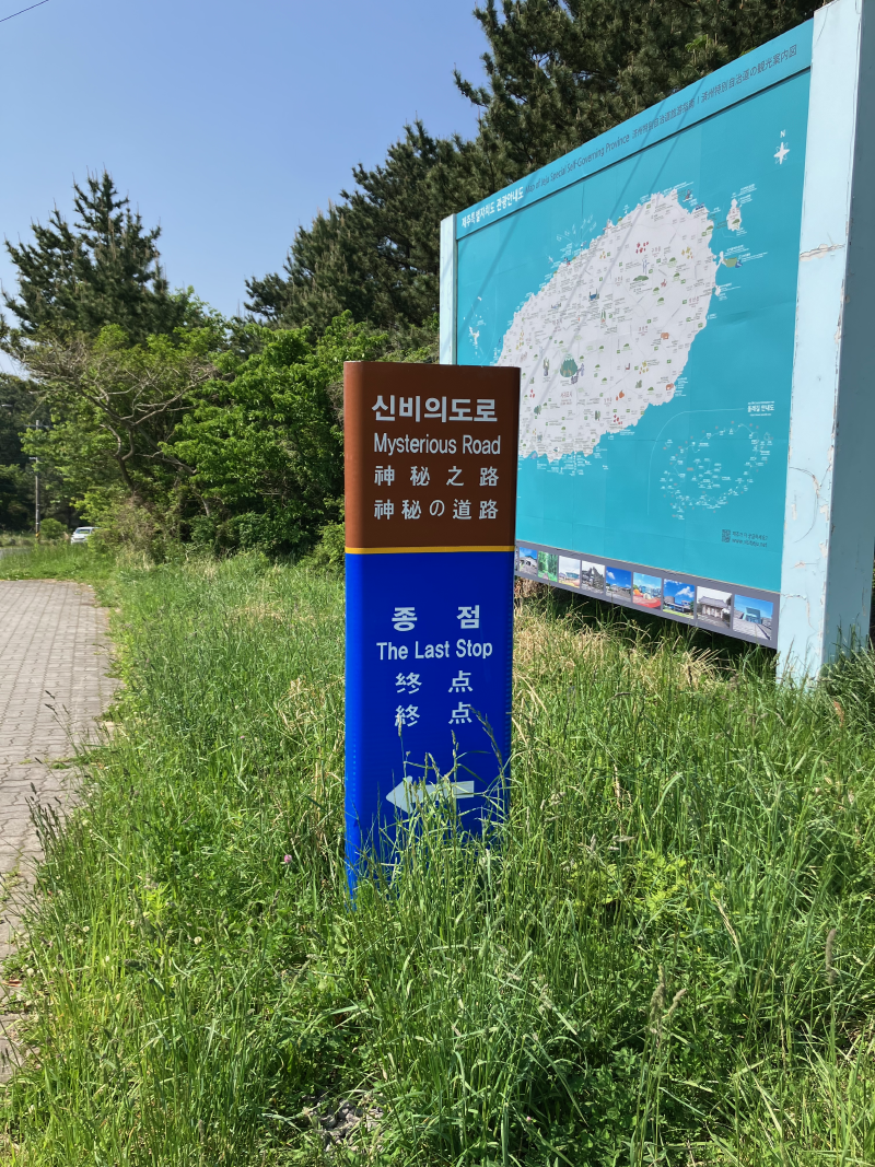
Hallasan
Hallasan
Hallasan day. Out of all the trails that lead to the mountain there are only two that allow one to get to the actual mountain top. Both require the reservation. Luckily there was just one spot left free for me, so I was able to go at the convenient time.
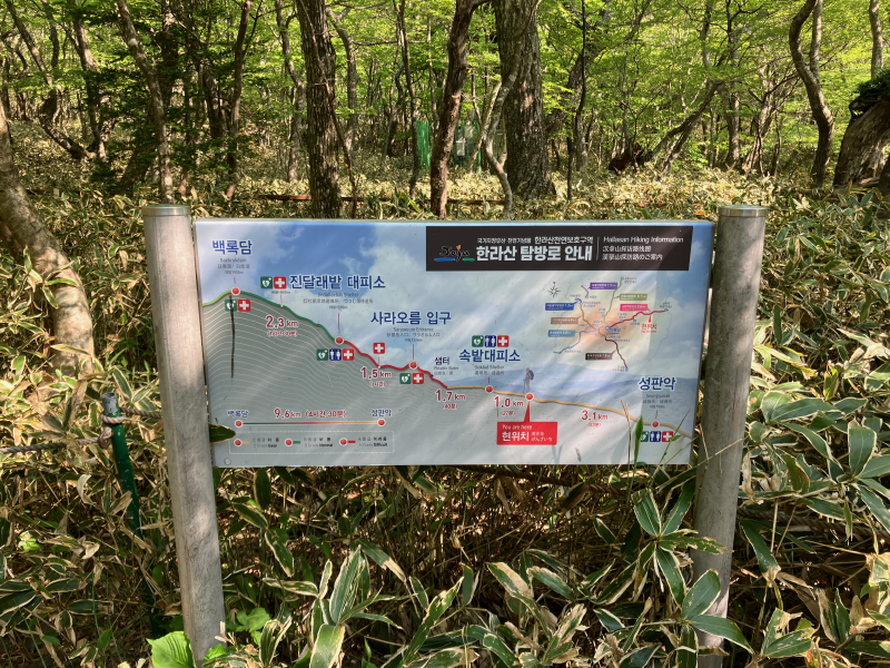
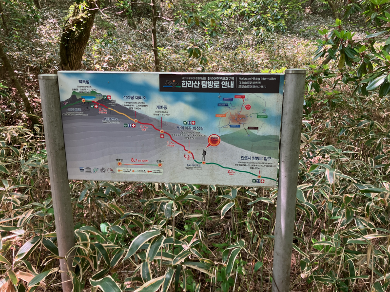
After about an hour on the bus I got out at the bus stop near the trailhead and in a minute I was already on the trail. The reservation check is as fast as a QR code scan and I’ve got my wristband “ticket”.
The trail starts in the forest and stays mostly between the trees pretty much all the time till the cutout gate, which is about 7km away from the trailhead, out of about 9km of the whole trail. The path varied between this comfy Korean trail carpet thingy, boards and jumping over the rocks. As I came well rested and with a light backpack, I was walking faster than most of the other people on the trail. But that’s to no surprise.
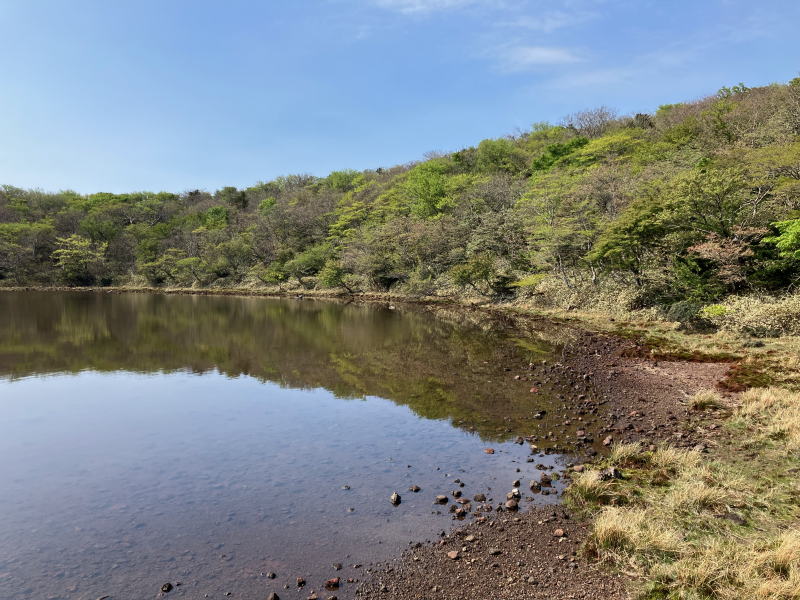
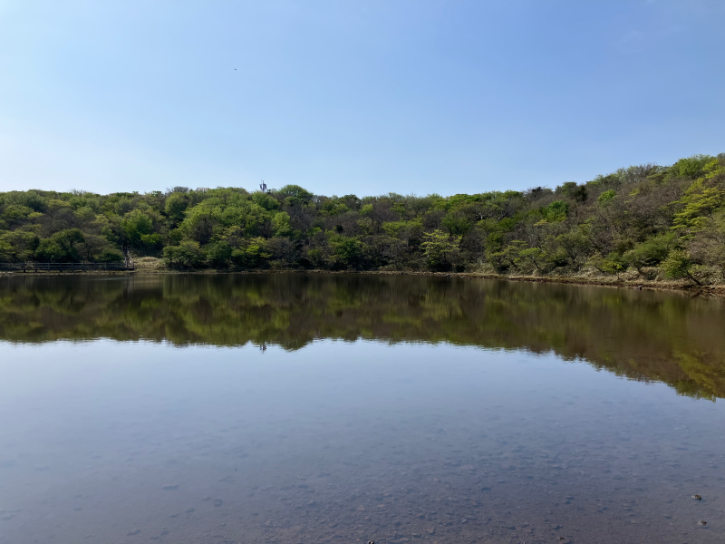
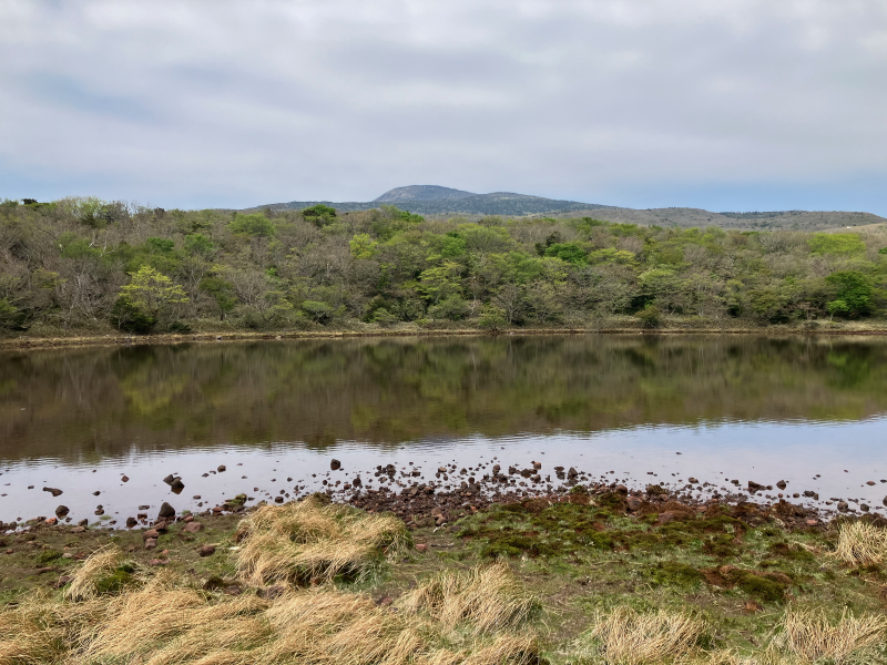
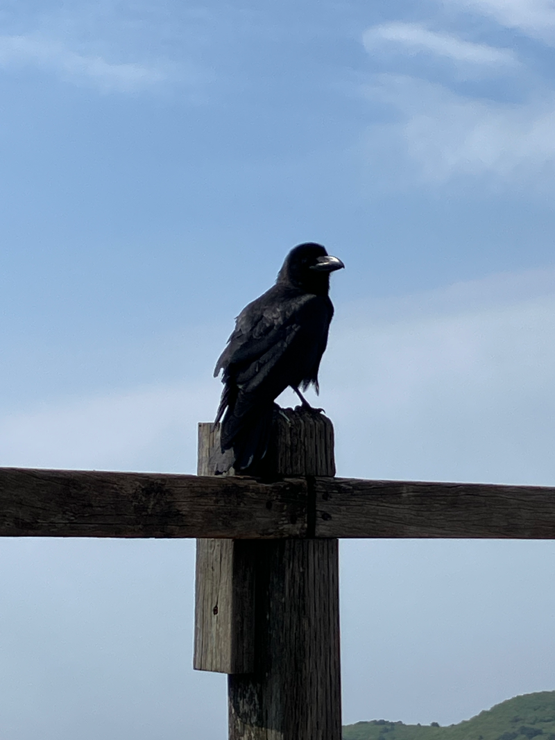
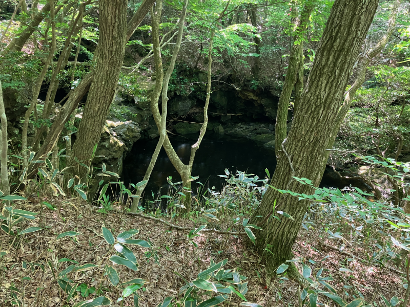
Half way up the trail there is a short sideway branch trail leading to the cute little lake and a chill viewpoint. The “trail” includes a few hundred meters of stairs, so people mostly skip it and it wasn’t crowded at all. Though could be just my luck. Spent there probably half an hour watching the scenery and watching people interacting with local crows that came to check if we had anything to share with them.
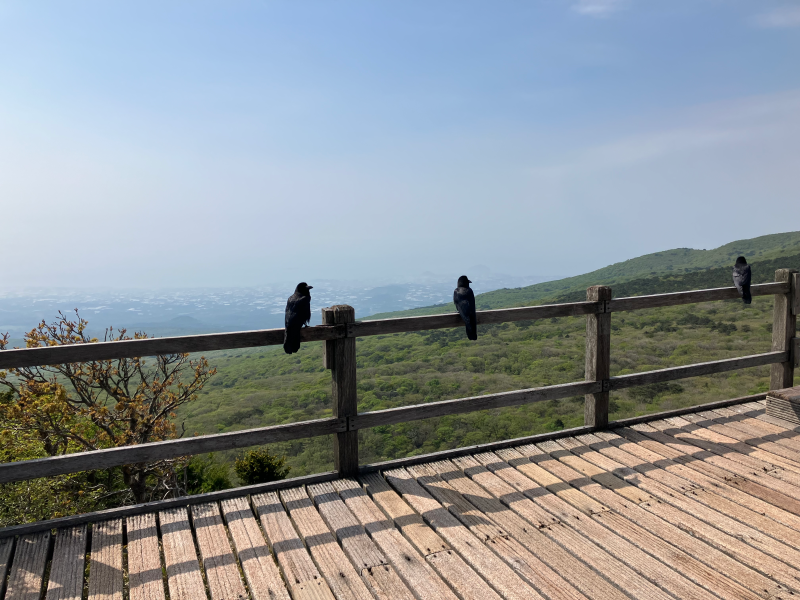
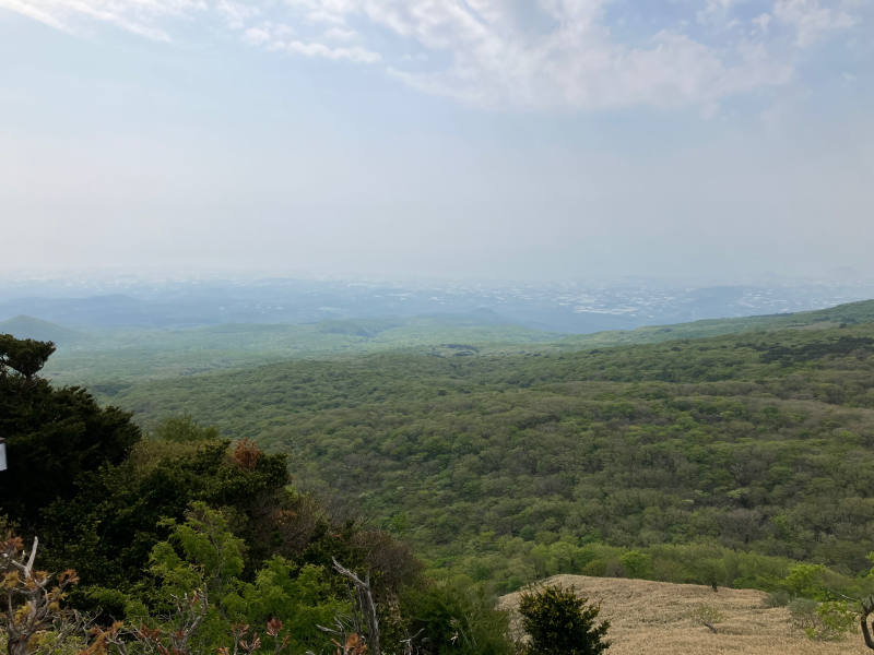
The final stretch of the trail leads one out of the forest and onto the rocky slopes of the Halla peak, with the wind suddenly getting the force, not hindered by the trees anymore.
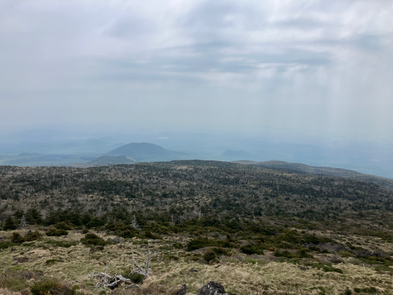
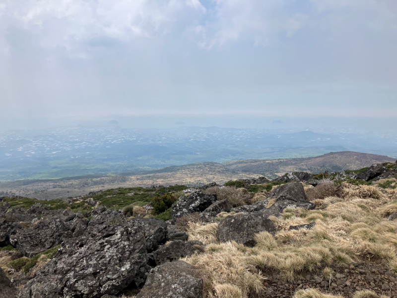
At the summit there are a few connected platforms to chill, enjoy the views, take pictures and rest before going down. I’ve skipped a huge line of people waiting to take a picture of themselves with the summit marker stone, and went directly to where all the best views are. The crater looks cool, with a little lake in it. And there were still patches of snow here and there at the altitude. A nice finishing touch for this whole trip.
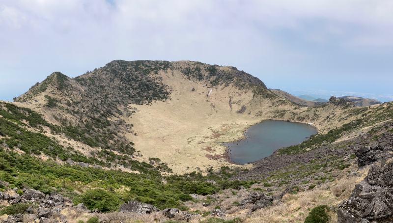
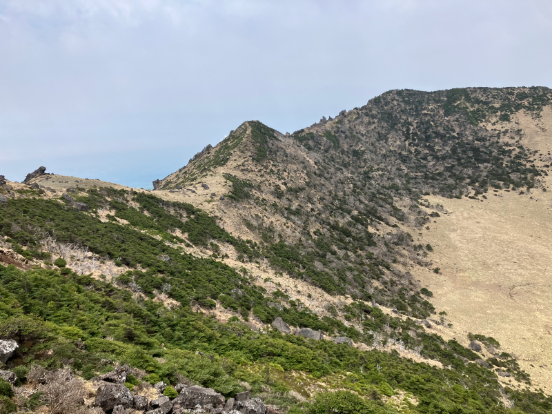
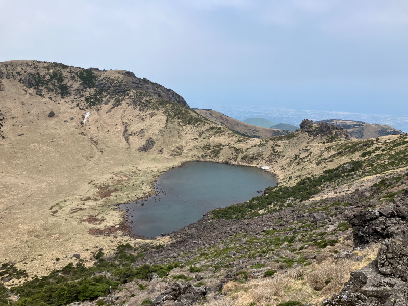
Not staying up in the crowd for too long because of the freezing wind — and I forgot my gloves — I started going down. If for the ascent I took the trail on the east side of the mountain, for the descent I picked the other one, going on the northern slope. And it was a good pick. The views into the valley are just gorgeous and the views up onto the peak are breathtaking. In the end I spent another hour or so just hanging out on the stairs, filming a few timelapses and just appreciating the views while being protected from the wind by the mountain itself.
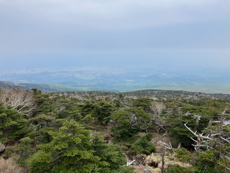
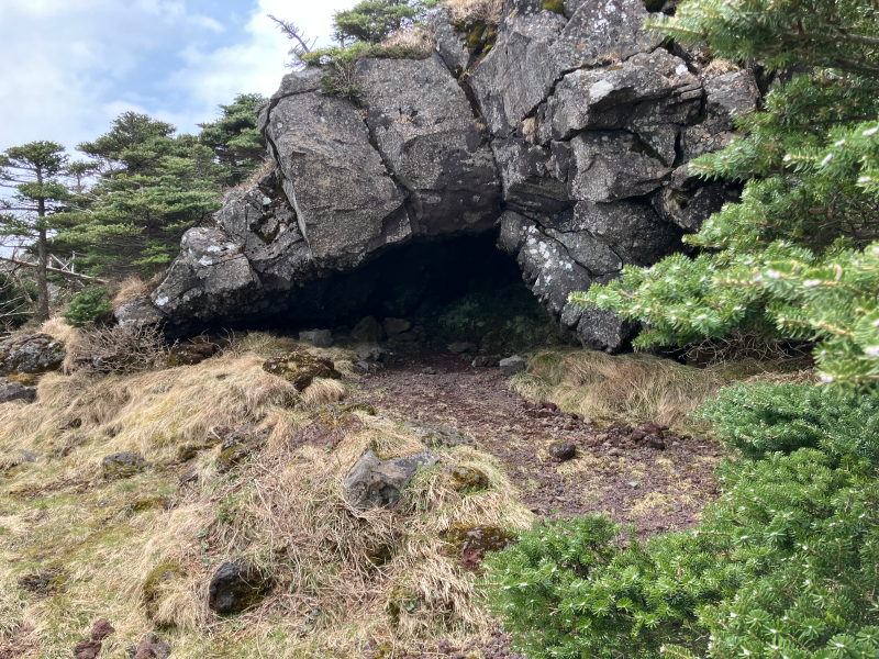
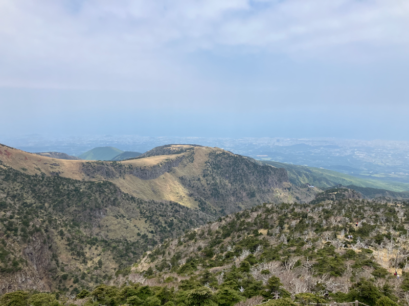

The trail gently leads one through the valley — no steep slopes, no challenging stairs. Easy and comfortable to go down, with plenty of resting spots, amazing views and a few bridges crossing the valley.
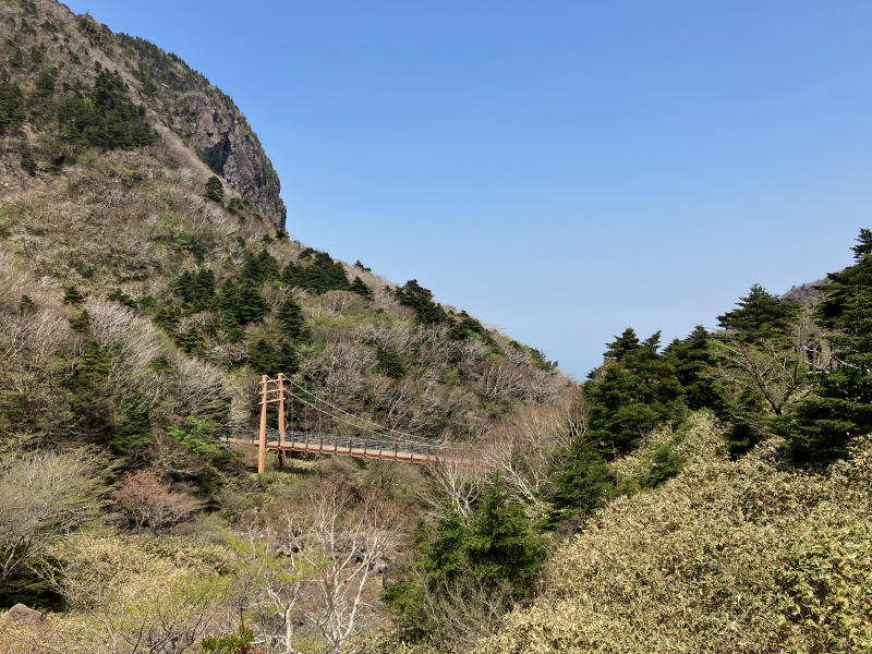

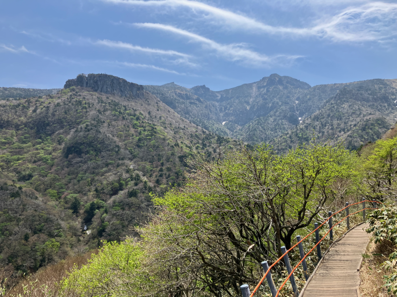
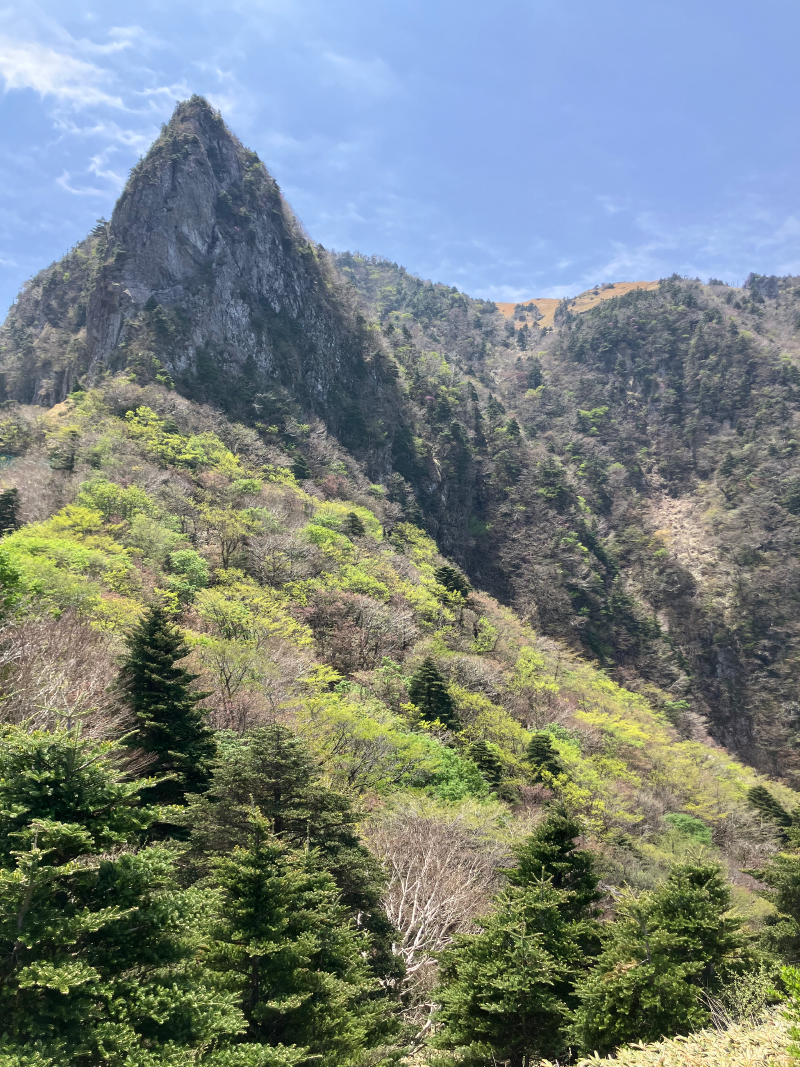
Finally the trail leads into a lush forest, following a gorge with a beautiful river — the kind of scenery one would expect dragons to live in.

Exiting the trail I noticed a small booth for “self-certification”, allowing people to print themselves a climbing certificate by uploading some specific photos with geolocation. I guess that’s what the line was for at the top.
There are no direct buses from this trailhead to… well, to anywhere else. And the bus that takes people to other buses goes like once an hour. But since I only need to travel for 3km to get to my bus stop to Seogwipo, I’m just walking the distance rather than waiting for the bus.